


Signature coverage
100%signed
340 of 340 images signed · 96 plotted on the India capture map
Signed340+
Unsigned308+
Mapped in India96+
Transforming institutional infrastructure through AI-powered spatial intelligence.
Powered by Geo-Intel Lab · IITTNiF, Tirupati
Capture · Stamp · Sign · Prove — trusted field evidence with GPS, time, and DigiPIN, while media stays on the device.
340 of 340 images signed · 96 plotted on the India capture map
SPIN Tag Camera
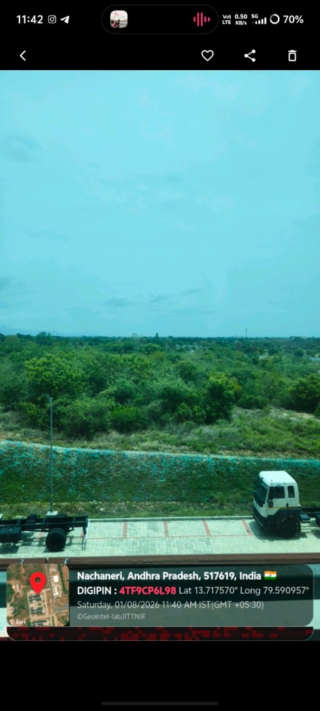
SPIN Tag Camera captures field photos and videos with coordinate, altitude, accuracy, address, timestamp, and on-device DigiPIN context. Media remains on-device; optional cloud upload is limited to audit metadata. SPINTag API and Admin Dashboard let operators review audits, devices, and users without a cloud photo gallery.
Field surveys, inspections, and infrastructure documentation need location, time, and integrity context at the moment of capture. Typical cloud photo pipelines store full media on servers, while loose geotags are easy to spoof.
On-device location stamping with DigiPIN, optional integrity signatures, and metadata-only audit upload so evidence stays on the device.
Photos and video with coordinates, altitude, accuracy, address, and timestamp.
Generates DigiPIN from GPS using the public DigiPIN specification.
Hashes and Ed25519 signatures with metadata-only cloud audit.
In-app gallery and map with Esri / OpenStreetMap layers.
Trusted field evidence with location, time, and DigiPIN at capture — without storing full media in the cloud.
Book a walkthrough of this live platform, or contact the Geo-Intel Lab at IITTNiF about pilots, integration, or co-development.